


You might also like these products


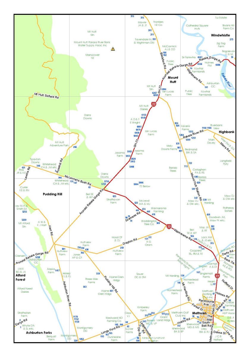
Mid Canterbury Rural Location Map Book
$30.00
RRP $33.00
Edition 2
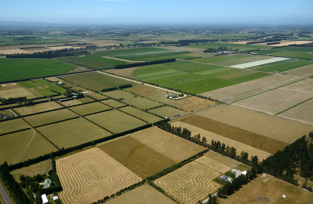
South Island rural farm maps indexed for Mid Canterbury owners of farms greater than 15 hectares. There are indexes for road names and owners included.
26 pages of farm maps including the following towns:
|
|
|
|